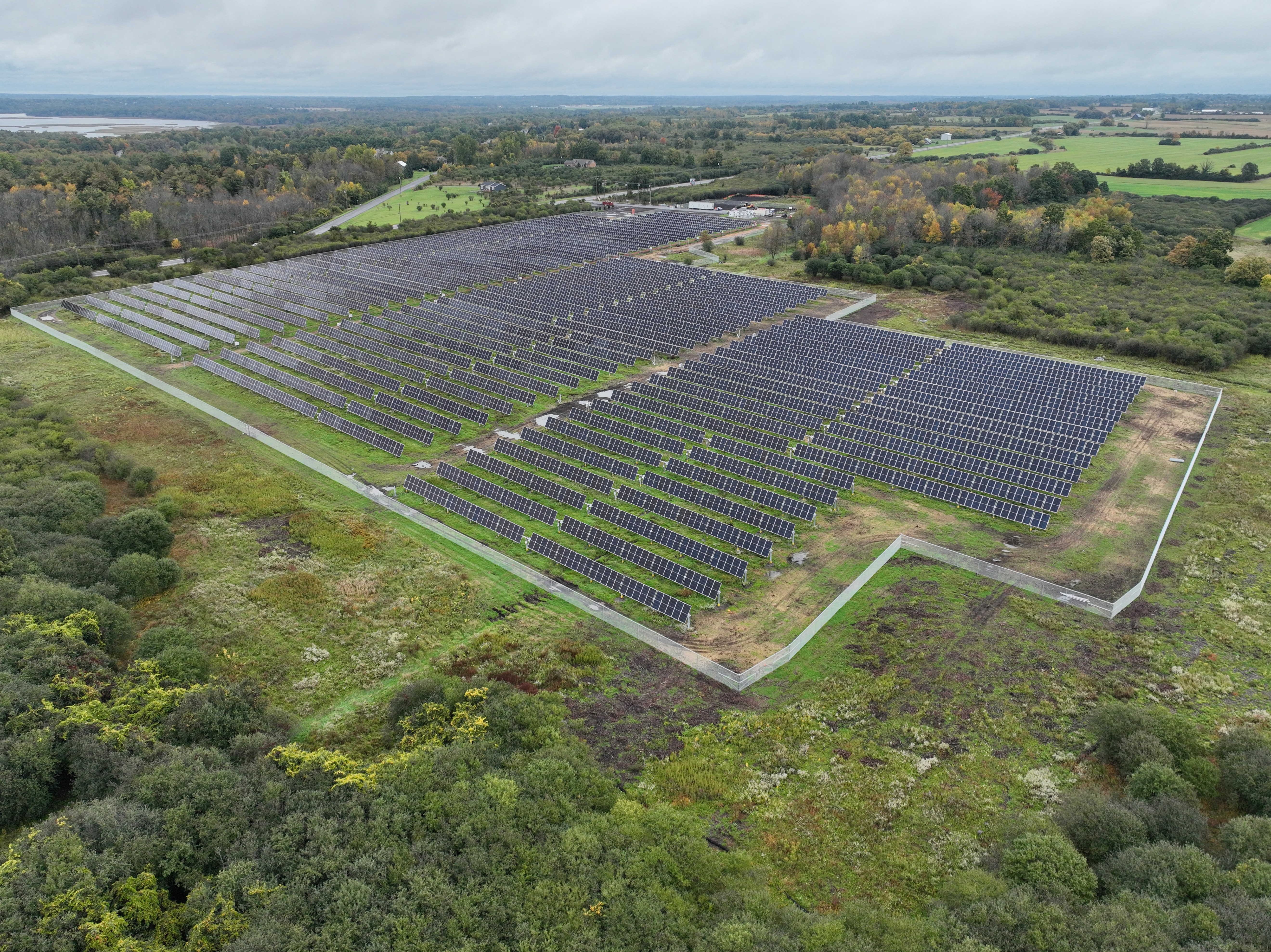
Aerial Mapping & Construction Documentation
Recurring aerial mapping and construction progress documentation for a commercial project in Watertown, New York. ClearPath Aerial conducted systematic aerial data collection to provide consistent site-wide imagery and visual documentation of project progress over time.