top of page
Aerial Mapping & Construction Documentation
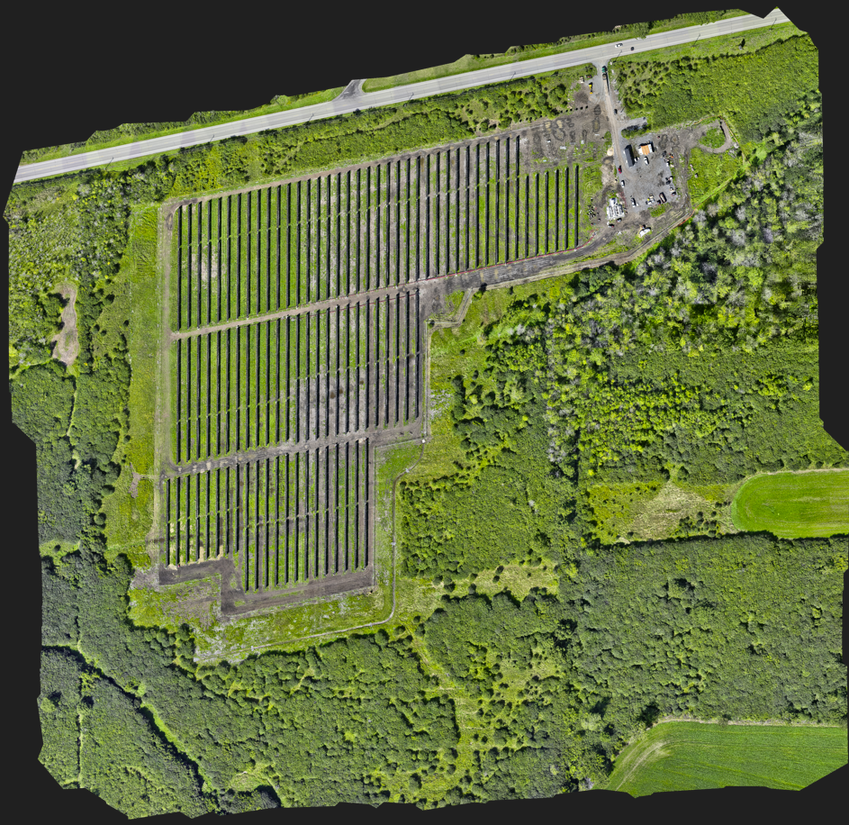
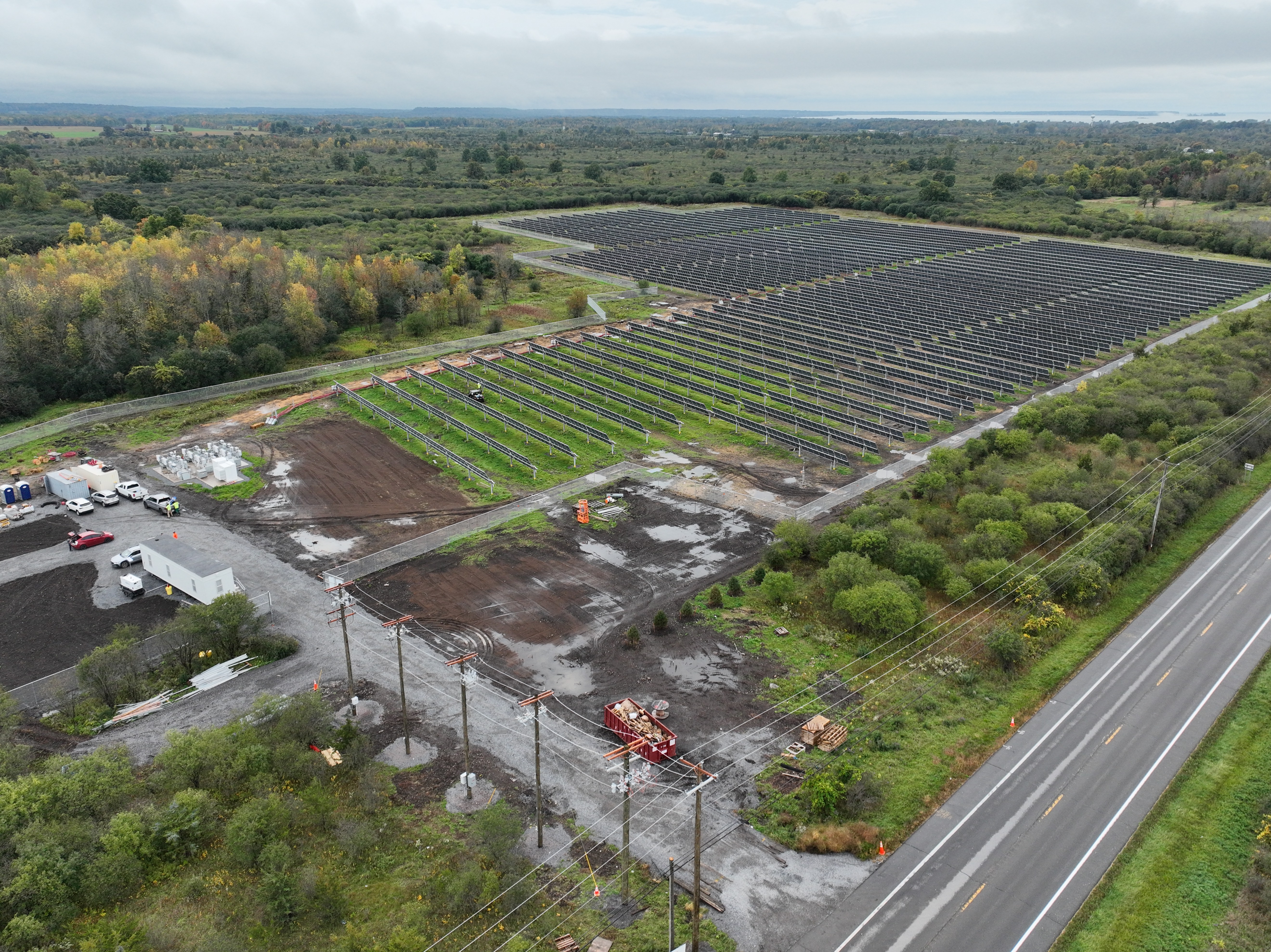
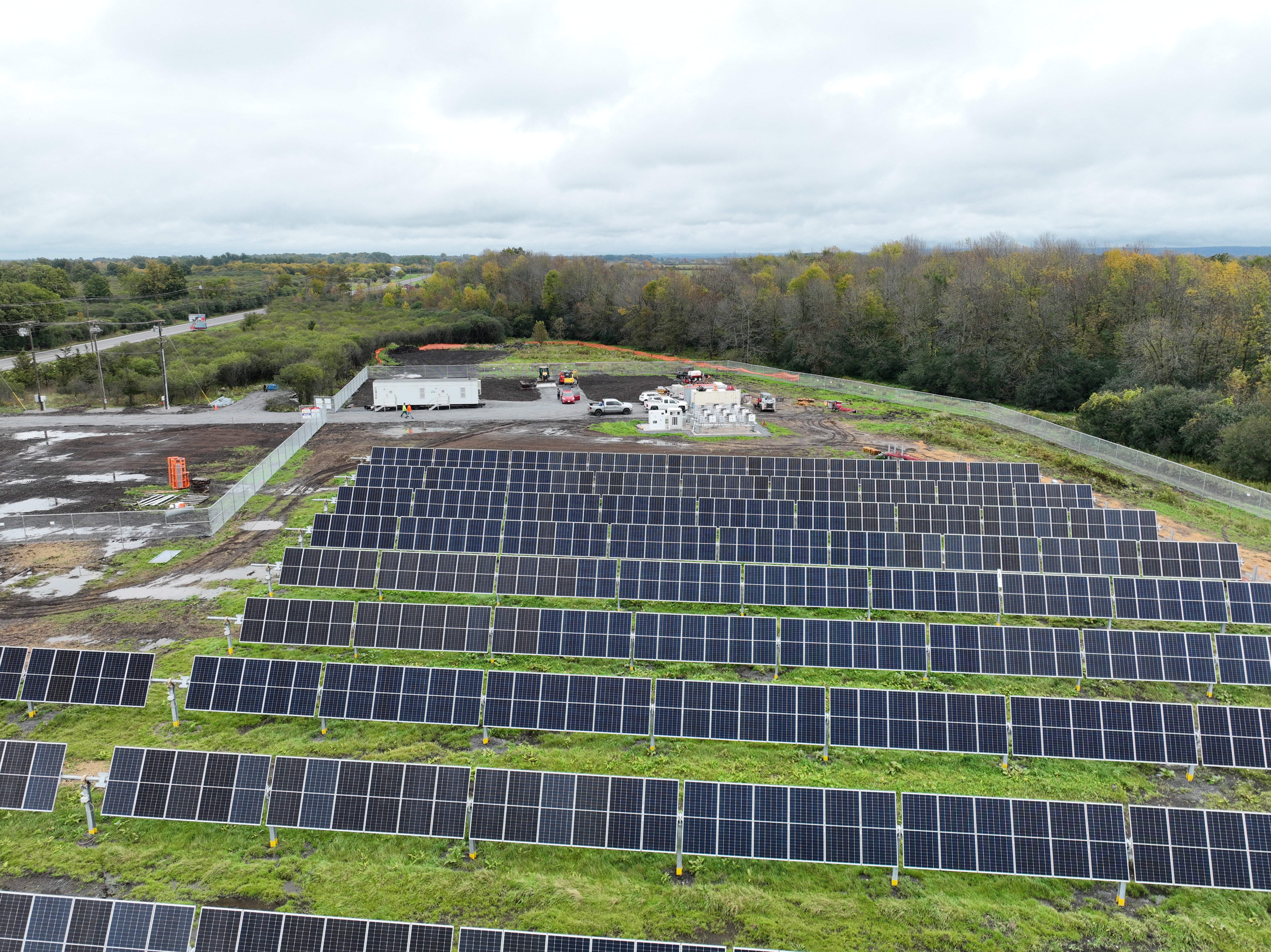
Recurring aerial mapping and construction progress documentation for a commercial project in Watertown, New York. ClearPath Aerial conducted systematic aerial data collection to provide consistent site-wide imagery and visual documentation of project progress over time.
Project type
Aerial Mapping & Orthomosaic
Date
October/2026
Location
Watertown, NY

01
Aerial Mapping & Construction Documentation

01
2d Ortho
Overview image of the entire site

02

03
DJI_20261002140228_0024_V

04
DJI_20261002140211_0023_V
bottom of page